# Geospatial Feature
## Overview
**Geospatial Features** allow you to add map-based reference items.
These items will appear on any map within the system, can be searched and linked from the request registers (as well as all other registers that support asset linking), and support a revalidation workflow to ensure the contents remain current.
### Geospatial Category
Geospatial categories can be defined by system administrators to support any number of categories. Examples may be Road Block, Vulnerable Facility, Impact Areas etc.
System Administrators can customise the list of geospatial categories via Lookups.
For more on this see [Lookups](https://docs.cw.crisisworks.com/system-administration/configuring-the-system/lookups).
## Adding Geospatial Features
When adding geospatial features into the library:
1. Select **Geospatial Feature** from the Reference Type field
2. Enter the title of the feature
3. Select the **Geospatial Category**
4. Optionally select a **Display Icon** (tip: search for a keyword within the select box to filter the list).
5. Draw the map annotation by using the controls at the top right corner of the map — you can place points, draw a line string or draw a polygon.
6. You can also search **Related Asset** and points of interest, to link the geospatial feature to existing features. This is useful if you are adding a feature that exists at a property address, for example. if the linked asset is also mapped, that map information will be transferred onto this geospatial feature record when it is saved.
7. Add information into the **Body** field.
### Search
Enabling **Include in search** makes the item available for geospatial search queries.
Further add a **Search Short Reference** to use instead of the item's main ID in search queries. This identifier must be: unique within this Site, only include letters, numbers, underscores and hyphens, and have at least one non-numeric character. It should be short and easy-to-remember, eg. impactzone1.
Once added, the **Search Short Reference** will become selectable from the **Locations** search filter.
#### Searching within the Geospatial area
When searching for records within this area add multiple search parameters.
Refer to: [Searching, Filtering and Querying Registers](https://docs.cw.crisisworks.com/concepts-and-fundamentals/on-a-computer/searching-filtering-and-querying-registers).
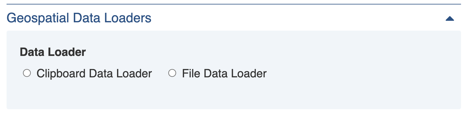
### Geospatial imports
For more accurate geospatial data you can import a file or paste the geospatial data into the record choosing one of the two option at the bottom of the form.
The system reads many common geospatial format. For a list refer to: [Mapping and Assets](https://docs.cw.crisisworks.com/concepts-and-fundamentals/on-a-computer/mapping-and-assets).
Geospatial data loader
### Displaying Geospatial Features on maps
Once a geospatial category has its first feature, a new layer becomes available to all maps to show all the features for that category.
To show a geospatial feature category on a map:
1. Use the layer selector button
2. Place a check into the checkbox next to the layer you wish to display
### Searching Geospatial Features from other register items
From within Requests, Information and any other register that supports searching and linking assets, you can search any of the active geospatial reference features in the current event, as well as any global event to which you are authorised.
To find and link a geospatial feature from another item:
1. From the **asset** field, select the **Library Items** type
2. Next, search by name for the item you wish to link, and select it in the result
3. The geospatial feature will display on the map
4. You can additionally annotate the map with further information for the item being edited.

 2. Place a check into the checkbox next to the layer you wish to display
### Searching Geospatial Features from other register items
From within Requests, Information and any other register that supports searching and linking assets, you can search any of the active geospatial reference features in the current event, as well as any global event to which you are authorised.
To find and link a geospatial feature from another item:
1. From the **asset** field, select the **Library Items** type
2. Next, search by name for the item you wish to link, and select it in the result
3. The geospatial feature will display on the map
4. You can additionally annotate the map with further information for the item being edited.

2. Place a check into the checkbox next to the layer you wish to display
### Searching Geospatial Features from other register items
From within Requests, Information and any other register that supports searching and linking assets, you can search any of the active geospatial reference features in the current event, as well as any global event to which you are authorised.
To find and link a geospatial feature from another item:
1. From the **asset** field, select the **Library Items** type
2. Next, search by name for the item you wish to link, and select it in the result
3. The geospatial feature will display on the map
4. You can additionally annotate the map with further information for the item being edited.
